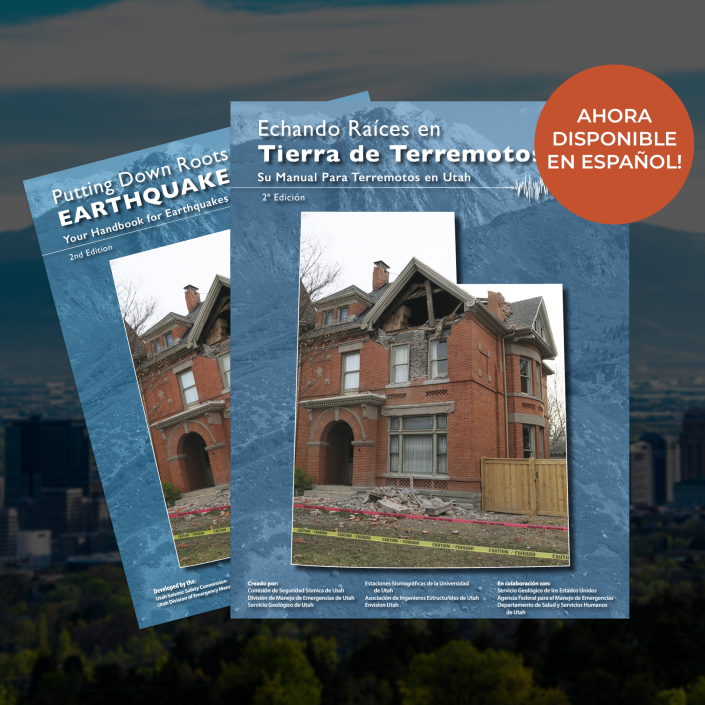
Thanks to a 4-year effort by the Utah Geological Survey, Utah now has a better look at Wasatch Front faults from southern Idaho to central Utah The overall length of the Wasatch fault, 240 miles, has not changed, but details to the existing faults have been added to the library. We now have 739 mapped miles of fault strands, compared … Read More
Was the March 18, 2020, Magna Earthquake in the Forecast?
Utah Geological Survey has a 50-year forecast for earthquakes. In 2016, the Working Group on Utah Earthquake Probabilities (WGUEP) published a 50-year forecast for moderate to large earthquakes in the Wasatch Front region. They determined there was a 93% chance of having one or more earthquakes of magnitude 5 or larger in that time period. Given that high probability, the … Read More
Living With Earthquakes in Utah
Check out these publications, articles, maps, and other resources compiled by the Utah Geological Survey about living with earthquakes in Utah. Utah Quaternary Fault & Fold Database Fact Sheet on the Wasatch Front Earthquake Forecast What is an Earthquake Early Warning System, and Does Utah Have One? Utah Earthquakes (1850 to 2016) and Quaternary Faults Map Large Earthquakes on the … Read More
UGS Resources on the Magna 5.7 Earthquake
View the Utah Geological Survey’s database of geologic information from the March 18, 2020 earthquake, compiled the day of the earthquake and the days following. UGS Resources